Work is underway to assess the earthquake risk of the Turkish Republic of Northern Cyprus (TRNC) following the devastating February 6 earthquake in Türkiye which claimed thousands of lives.
The country’s earthquake risk is being mapped out as part of the protocol signed with the Republic of Türkiye.
According to the announcement from the Deputy Prime Ministry, Ministry of Tourism, Culture, Youth, and Environment, a map will be prepared as a result of the collaboration between the Geological and Mineral Research Department affiliated with the Deputy Prime Ministry and the General Directorate of Mineral Research and Exploration of the Turkish Ministry of Energy and Natural Resources.
This map will reveal the earthquake risk in the TRNC, and it will mark the first step towards creating earthquake-resistant buildings and cities.
The first-of-its-kind collaboration aims to map active faults nationwide and determine the historical period earthquakes and their recurrence intervals.
The protocol was signed by Ayşen Albayrak, the Director of the Geological and Mineral Research Department of the Deputy Prime Ministry, Ministry of Tourism, Culture, Youth, and Environment, and Hasan Elmacı, the TRNC Project Coordinator of the Mineral Research and Exploration General Directorate of the Turkish Ministry of Energy and Natural Resources.
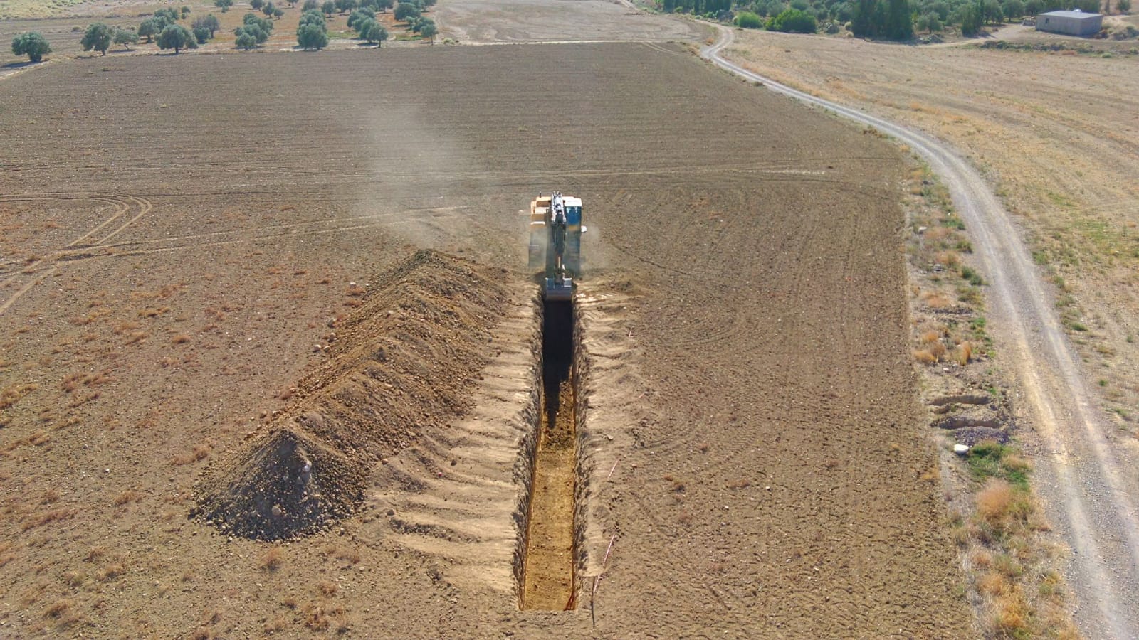
As part of the protocol, a total of 9 trench pale seismology studies have been conducted so far and the project plans to open 16 trenches by its conclusion.
The announcement highlighted that the project would bring attention to the earthquake risk of the TRNC in terms of its geological structure as an actively tectonic region.
The maps developed based on new data will be shared with relevant stakeholders and the public.
This initiative is seen as the first step in creating earthquake-resistant buildings and cities.