A weak low-pressure system is dominating the area, with a low-pressure centre over the Italian peninsula moving eastward, set to impact us mainly from tomorrow afternoon onwards.
A slight drop in temperatures and showers is expected this week.
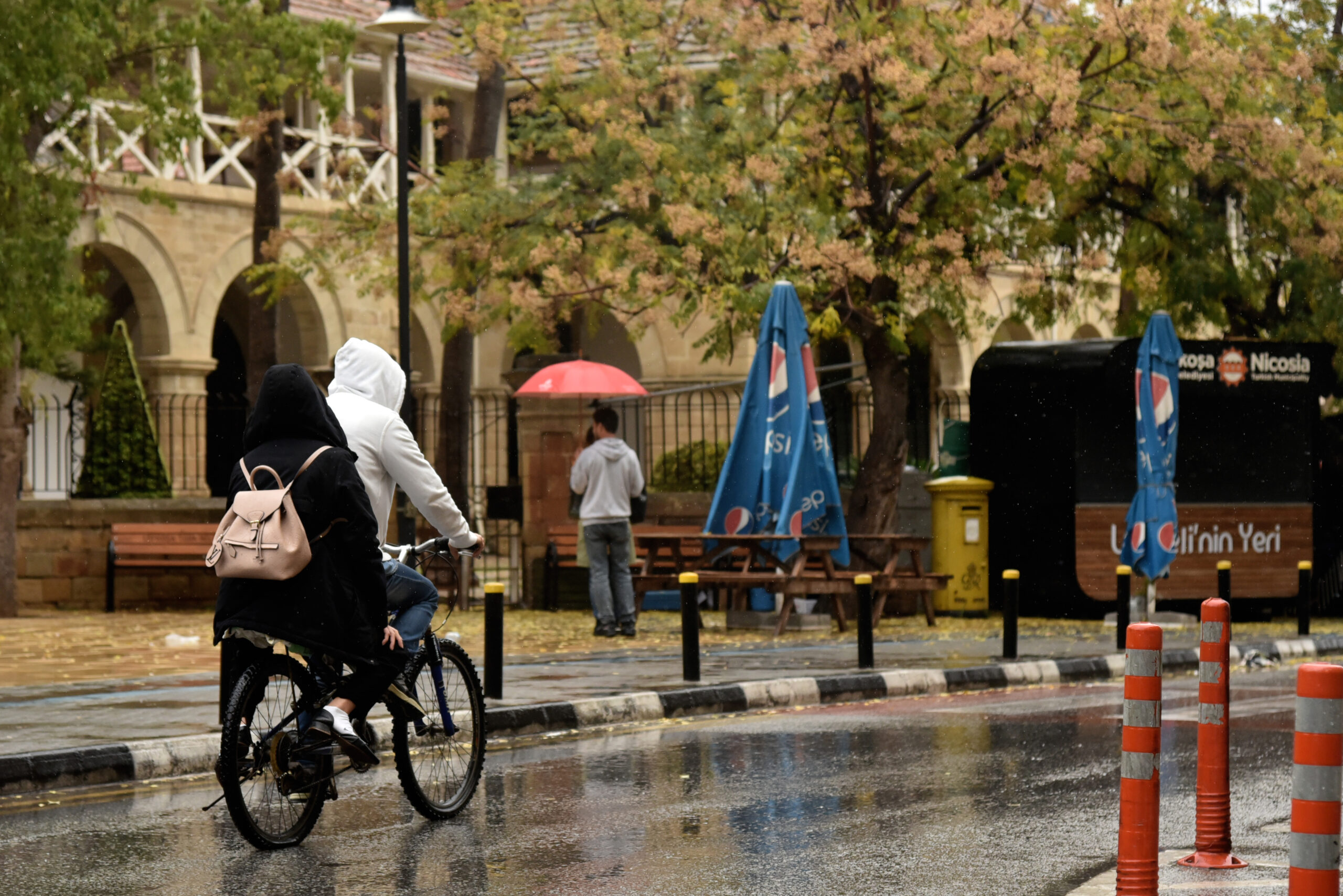
Monday will be mostly overcast with isolated light rains expected mainly in the west and north, and periods of fine dust suspended in the air.
Temperatures will rise to 21C inland and on the coasts and 10C in the higher mountains. Winds will be south-westerly to westerly, and north-westerly inland, up to moderate, 4 Beaufort.
The sea will be slightly rough.
Overnight will see increased cloud cover bringing a chance of further isolated rains, mainly in the west and northwest.
Later and during the morning hours thin fog may form, especially in the east.
Temperatures will drop to 8C inland, 13C on the west and north coasts, 12C on the remaining coasts and 5C on the higher mountains.
Winds will be mainly south-easterly to south-westerly, weak, 3 Beaufort. The sea will remain rough.
Rain is expected to continue through Tuesday and Wednesday while on the highest peaks of Troodos, snow or sleet is possible.
Thursday is expected to start mostly clear with showers later in the day.
A break in the unusually high temperatures is expected as of Wednesday with temperatures dropping close to the average for the season.